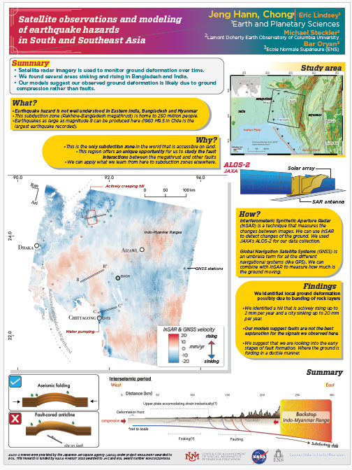
Satellite observations and modeling of earthquake hazards in South and Southeast Asia
- Student Research -
- ASPIRE Faculty Advisor:
- Students:
- Chong Jeng Hann

Description:
- Satellite radar imagery is used to monitor ground deformation over time.
- We found several areas sinking and rising in Bangladesh and India.
- Our models suggest our observed ground deformation is likely due to ground compression rather than faults.
