ASPIRE Open House Nov. 9
Event
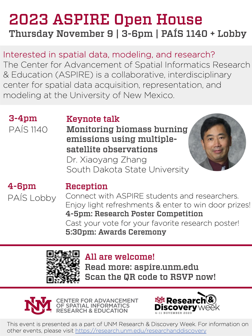
Date: Nov 09, 2023 - 03:00pm
Location: PAIS
Save the date! The 2nd annual ASPIRE Open House will take place on November 9, 2023 from 3-6pm in the PAIS building.
- 3-4pm Keynote Talk
- 4-5pm Student Research Poster Competiton
- 5:30pm Awards Cerenomy
ASPIRE Open House keynote talk on "Monitoring biomass burning emissions using multiple-satellite observations" from Dr. Xioyang Zhang will be hosted in PAIS 1140 at 3-4pm with a reception at 4-5pm including a research poster competition!
Abstract
Biomass burning from wildfires releases a large amount of aerosols and trace gases into the atmosphere. Their long-distance transport significantly affects both regional and global air quality that has strong impacts on human health and environment. Such impacts have been more severe because extreme wildfires have become the norm rather than the exception in recent years, such as the ongoing Canadian wildfires that have burned more than 15 million hectares since May 2023. To improve air quality and smoke predictions, we generate two types of operational products that are daily global and hourly regional biomass burning emissions. The daily global biomass burning emissions are calculated by blending active fire observations from the Moderate Resolution Imaging Spectroradiometer (MODIS) instrument and the Visible Infrared Imaging Radiometer Suite (VIIRS) instrument. Each of these instruments observe global surface twice a day with a spatial resolution of 1 km in MODIS and 375 m in VIIRS. The global emissions product is operationally produced with a latency of one day. On the other hand, the hourly regional biomass burning emissions are estimated by fusing active fire observations from VIIRS and the new generation geostationary satellites. The geostationary satellites observe active fires in 2-km pixels at an unprecedentedly temporal resolution of 5-10 minutes. The hourly emissions product is operationally produced across the North America with a latency of 2 hours. These biomass burning emissions are employed in the National Weather Service air quality models for improving air quality forecasting and smoke predictions at regional and global scales.
Dr. Xiaoyang Zhang received his PhD degree from King’s College London; Master degree from Nanjing Institute of Geography and Limnology, Chinese Academy of Sciences; and Bachelor degree from Peking University. He is currently a professor at the Department of Geography & Geospatial Sciences and a Co-director at the Geospatial Sciences Center of Excellence at South Dakota State University (SDSU). Before joining SDSU in 2013, he was a Postdoc Research Associate and late a Research Assistant Professor at the Department of Geography, Boston University (1999-2005); and a senior research scientist at the Earth Resources Technology company (2005-2012) and a visiting associate research scientist at the Earth System Science Interdisciplinary Center, University of Maryland (2012-2013), working at NOAA/NESIDS/STAR.
He has served as the PI and CoI over 40 projects supported by NASA, NOAA, and USDA, working on the development of a long-term continuous global land surface phenology product, the establishment of an operational system for near real time monitoring of crop growth condition and natural vegetation growth, and the generation of operational products for estimating regional and global biomass burning emissions in near real time from multiple polar-orbiting and geostationary satellite observations. He also serves as aneditor for “Earth Interactions”, an associate editor for “International Journal of Applied Earth Observation and Geoinformation”, a member of editor board for “Remote Sensing of Environment” and “Remote Sensing Applications: Society and Environment”, as well as a guest editor for “Remote Sensing of Environment”, “Frontiers in Environmental Science”, and “Remote Sensing”.


